Aerial view of Yinchuan, NW China's Ningxia
An aerial drone photo taken on June 23, 2024 shows the buildings along Tanglai Canal in Yinchuan, northwest China's Ningxia Hui Autonomous Region. (Xinhua/Wang Peng)

An aerial drone photo taken on June 23, 2024 shows the Fenghuang Bridge over the Diannong River in Yinchuan, northwest China's Ningxia Hui Autonomous Region. (Xinhua/Wang Peng)

An aerial drone photo taken on June 23, 2024 shows the Fenghuang Bridge over the Diannong River in Yinchuan, northwest China's Ningxia Hui Autonomous Region. (Xinhua/Wang Peng)

An aerial drone photo taken on June 23, 2024 shows the Haibao Lake in Yinchuan, northwest China's Ningxia Hui Autonomous Region. (Xinhua/Wang Peng)

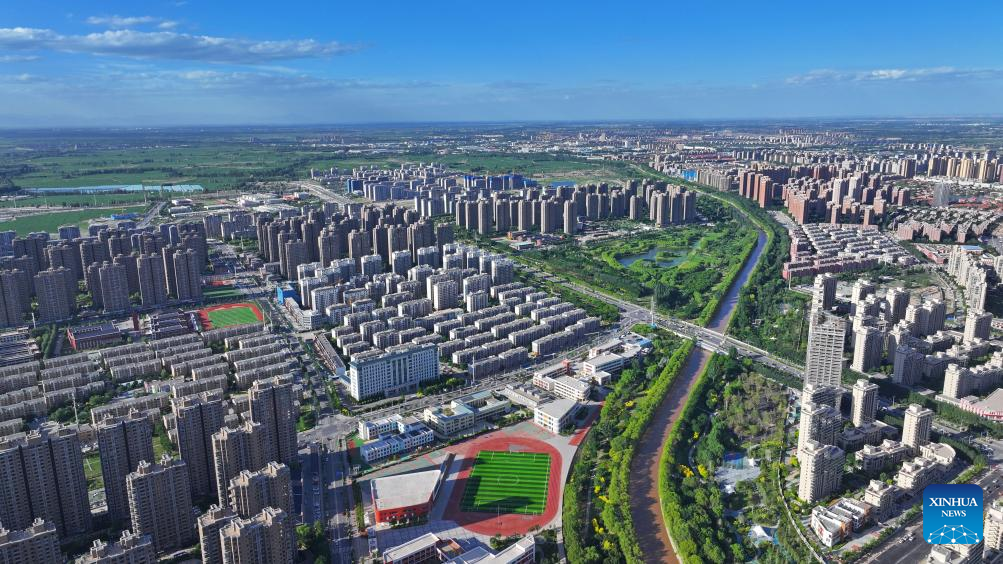
An aerial drone photo taken on June 23, 2024 shows the Diannong River in Yinchuan, northwest China's Ningxia Hui Autonomous Region. (Xinhua/Wang Peng)

An aerial drone photo taken on June 23, 2024 shows the Diannong River in Yinchuan, northwest China's Ningxia Hui Autonomous Region. (Xinhua/Wang Peng)

An aerial drone photo taken on June 23, 2024 shows the Fenghuang Bridge over the Diannong River in Yinchuan, northwest China's Ningxia Hui Autonomous Region. (Xinhua/Wang Peng)

An aerial drone photo taken on June 23, 2024 shows a view of the Diannong River in Yinchuan, northwest China's Ningxia Hui Autonomous Region. (Xinhua/Wang Peng)
Related articles
-
 A glass apart
More
-
Sound of Music Rocks in Mountain School
More
-
Warner Bros. 100th anniversary celebration ushers in Beijing International Film Festival
More
-
China launches Queqiao-2 as key relay communication platform for future lunar missions
More
-
Exhibition themed on Chinese zodiac Year of Dragon held in Zibo, E China
More
-
Old home, new life
More
